FOIF A90 - World's best DGPS
No need to level alongwith calibration-free technology

GNSS / DGPS A90
Canada Make OEM729 Mainboard with 555 channels and integrated IMU sensor so you need not hold the pole vertical.
INQUIRE NOW >
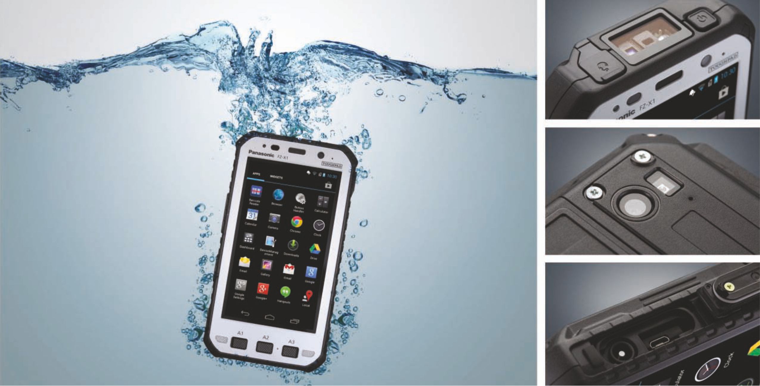
Panasonic Controller
Ultra-rugged IP68 and MIL-STD-810G standard Android controller comes bundled.
INQUIRE NOW >
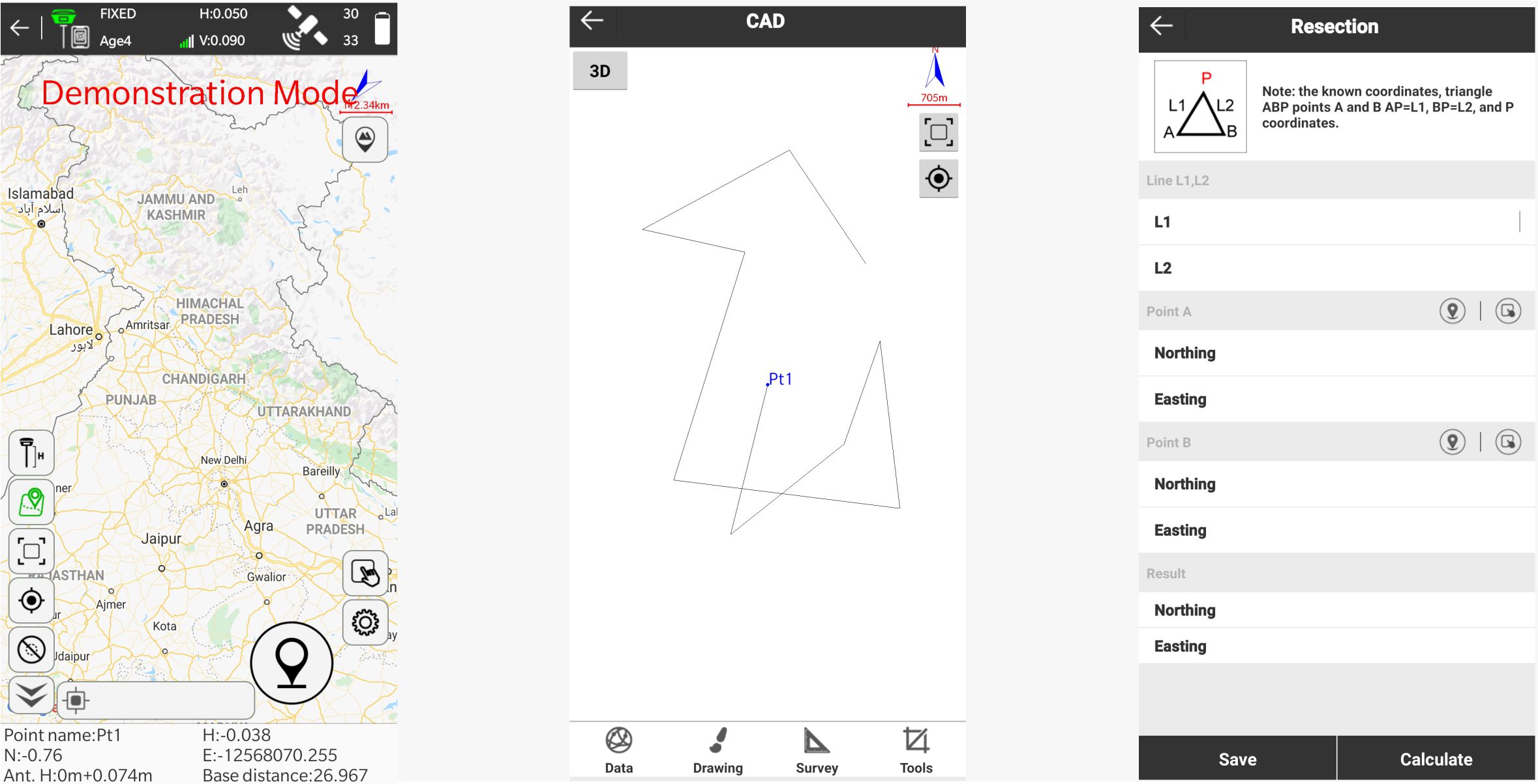
FOIF SurPad
Feature Rich Andorid Software for A90 DGPS bundled with ultra-rugged controllers.
LEARN MORE >
No need to level with the new FOIF A90 GNSS System. The new fusion of innovation of two different technologies : GNSS and Inertial Measurement Unit (IMU) gives a solution of every surveyor's dream - No need to hold the pole vertical to level the bubble of the instrument.
It is an advanved GPS/GNSS receiver which can work for topographical survey, hydrographic survey, GIS and almost any application.
IRNSS (NAVIQ) Satellite Enabled
Canadian Novatel 555 Channels mainboard
FOIF A90 features Novatel OEM729 mainboard which has 555 'All-in-view' GNSS channels.
Go for 'Tilt-and-move' with IMU support
A90 has inertial measurement unit or IMU to give accurate coordinates while tilted, enabling the 'tilt-and-move' feature.
Indian IRNSS Supported
A90 offers 'All-in-view' constellation with Indian IRNSS or NAVIQ supported.
Ultra-rugged controller
A90 is bundled with ultra-rugged IP68 grade Android controller.
Variety of operating softwares
A90 can work together with FOIF Survpad, FOIF FieldGenius or Carlson SurvCE. Use what you like!
Hot-swappable battery
A90 features two batteries at the same time which are hot-swappable and with smart display of battery power.
Optional American 800+ Channels mainboard
FOIF A90 features optional Hemisphere Phantom 40 board which has 800+ GNSS channels. P40 is Atlas® L-band capable means FOIF A90 can track Atlas to achieve 4 cm RMS accuracy without base anywhere in the world. Experience Unparalleled Accuracy and Reliability with Advanced Technology Features. Two Advanced technology features: aRTK™ and Tracer™. aRTK technology powered by Atlas, allows A90 to operate with RTK accuracies when RTK corrections fail. Tracer uses special algorithms to sustain positioning in the absence of correction data.
Wifi based WebUI
A90 can be configured using inbuilt wifi and webUI.
Listen to what our clients say :